BricsCAD® Pro EN

Benefits

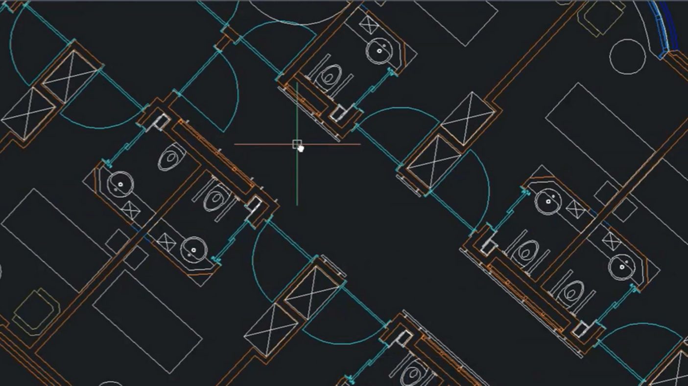
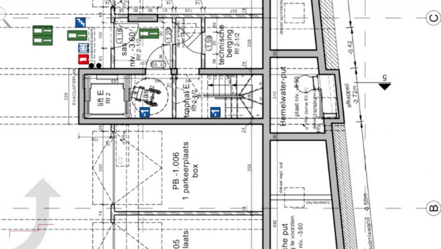
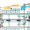
Seamless 2D and 3D
modeling
A unified environment for 2D drawing and 3D modeling simplifies switching between modes; the intuitive CAD interface minimizes the learning curve.

Full DWG compatibility
BricsCAD® Pro uses native DWG, ensuring smooth interoperability with other CAD software and efficient collaboration with clients and partners.

Advanced productivity
tools
AI-powered features like BLOCKIFY and the Quad cursor automate repetitive tasks, streamline workflows, and enhance focus on design.

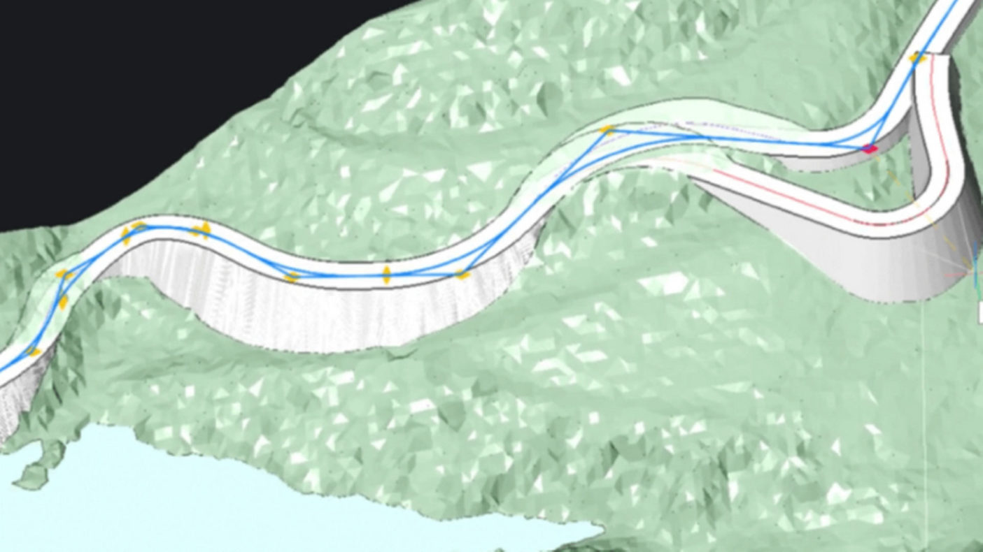
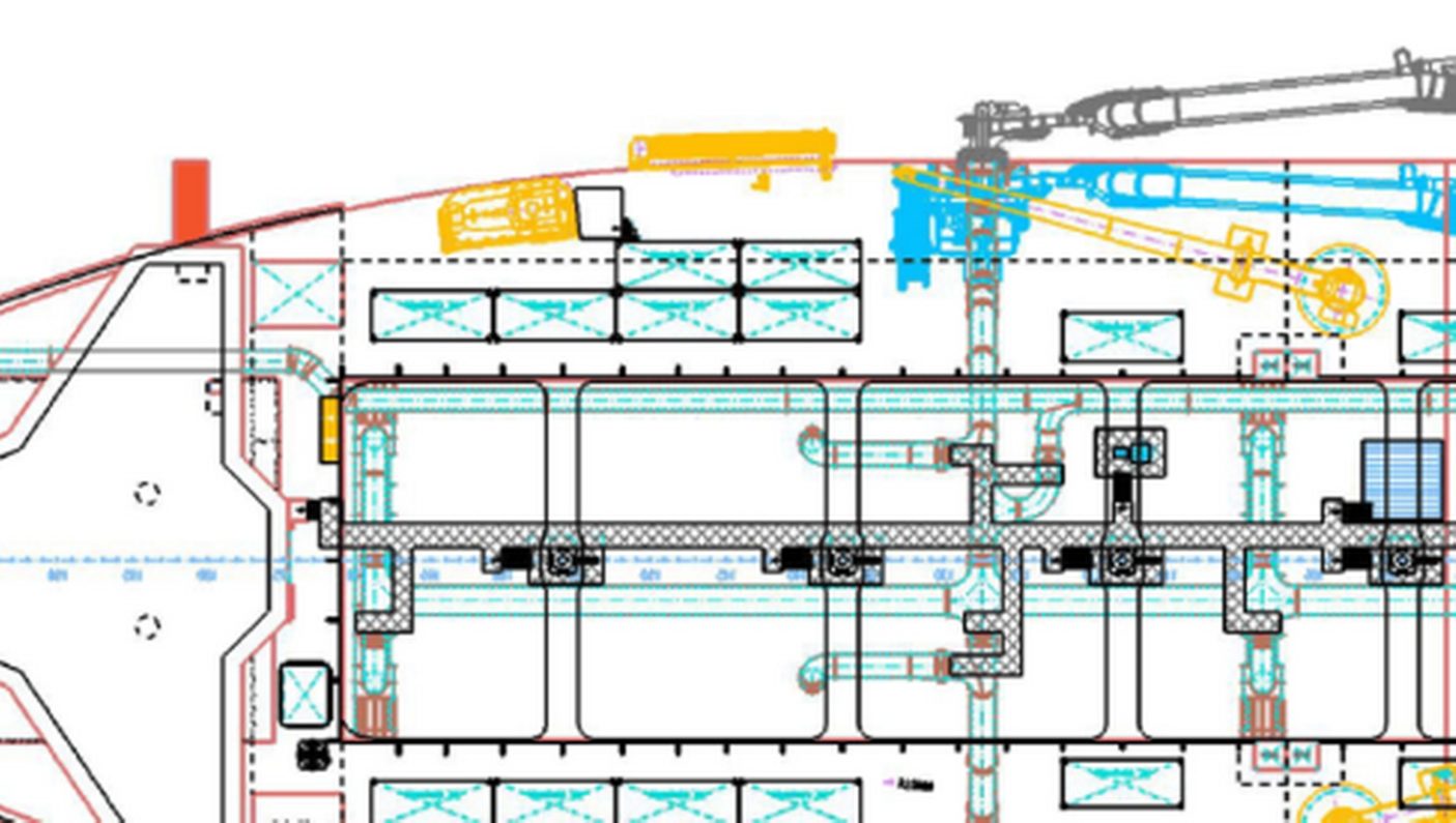
Comprehensive 3D modeling
features
The software supports direct and parametric modeling, complex surface creation, and a wide range of 3D design tools.

Efficient collaboration
and integration
Available on Windows, macOS, and Linux, BricsCAD® Pro integrates with Bricsys 24/7 and supports industry-standard file formats.

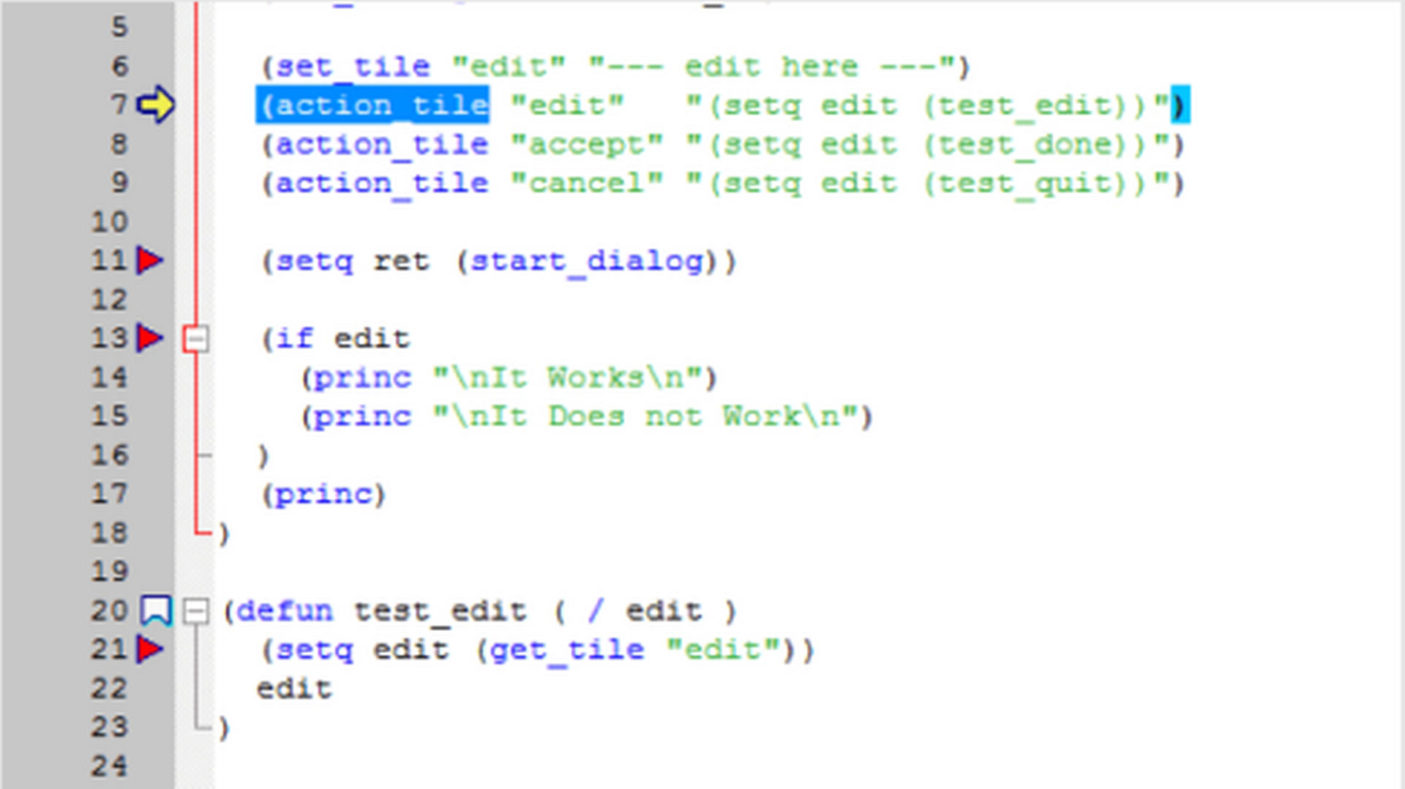
Extensible and adaptable
Open APIs and a broad developer ecosystem allow full customization and automation to meet specific project needs.

Enhanced visualization
and rendering
Photorealistic rendering and 3D visualization tools help present projects with clarity and impact.
Cost-effective and
flexible licensing
Perpetual and subscription licenses, global availability, and network license support make it easy to scale for any business size.

Training, support,
and upgrades
Robust technical support, training resources, and regular software updates ensure long-term value and effective use.
Features