CloudWorx EN

Leica CloudWorx is an application that integrates with BricsCAD® to streamline the processing and analysis of point clouds. It allows users to efficiently work with large point clouds directly in BricsCAD®, using both native CAD tools and CloudWorx-specific commands.
Easy to integrate and learn, CloudWorx — together with Leica JetStream — enables global project collaboration and eliminates inefficiencies.
CloudWorx enables users to work directly with laser scan data in BricsCAD®, simplifying visualization and modeling via Leica Cyclone or JetStream. When used with CADWorx® Plant Professional, it allows for the creation of accurate 3D models of piping, equipment, and structures from point clouds—ideal for industrial revamp projects. Automated workflows like line creation and flatness analysis reduce project turnaround time.
CloudWorx is ideal for architects, EPC companies, plant owners and operators, AEC construction firms, and service providers involved in laser scanning and as-built modeling.
- Oil & gas
- Chemicals
- Mining
- Power generation (nuclear, thermal, renewable)
- Heavy industrial plant construction
- Heavy infrastructure construction
- Machinery and heavy equipment
- Utilities and communications
- Engineering services
Benefits
Efficient point cloud
management
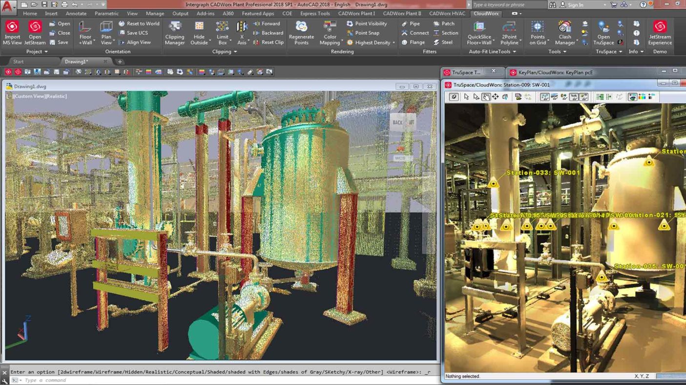
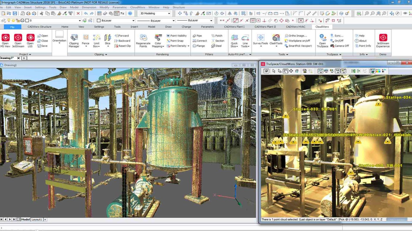
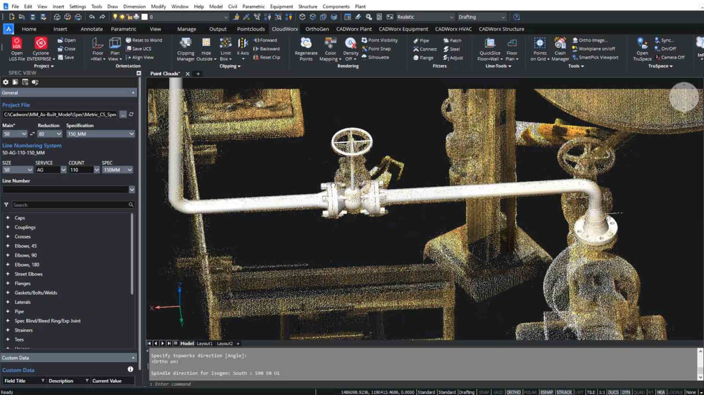
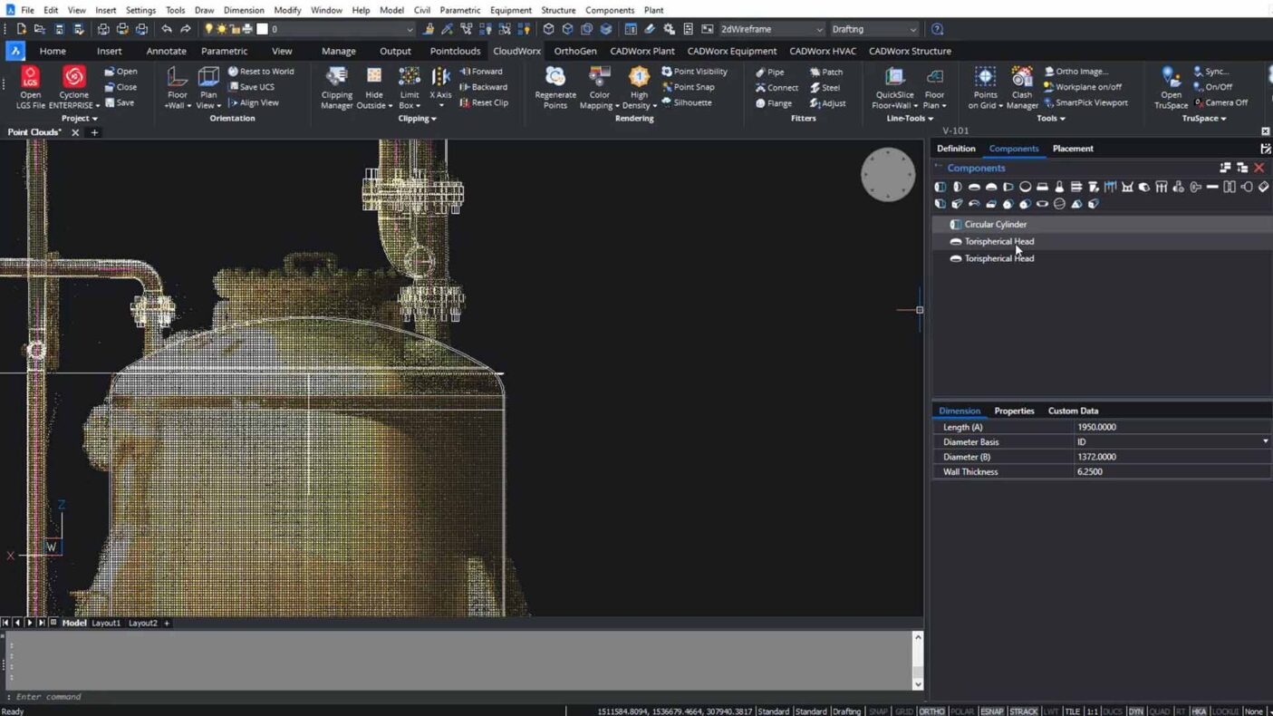
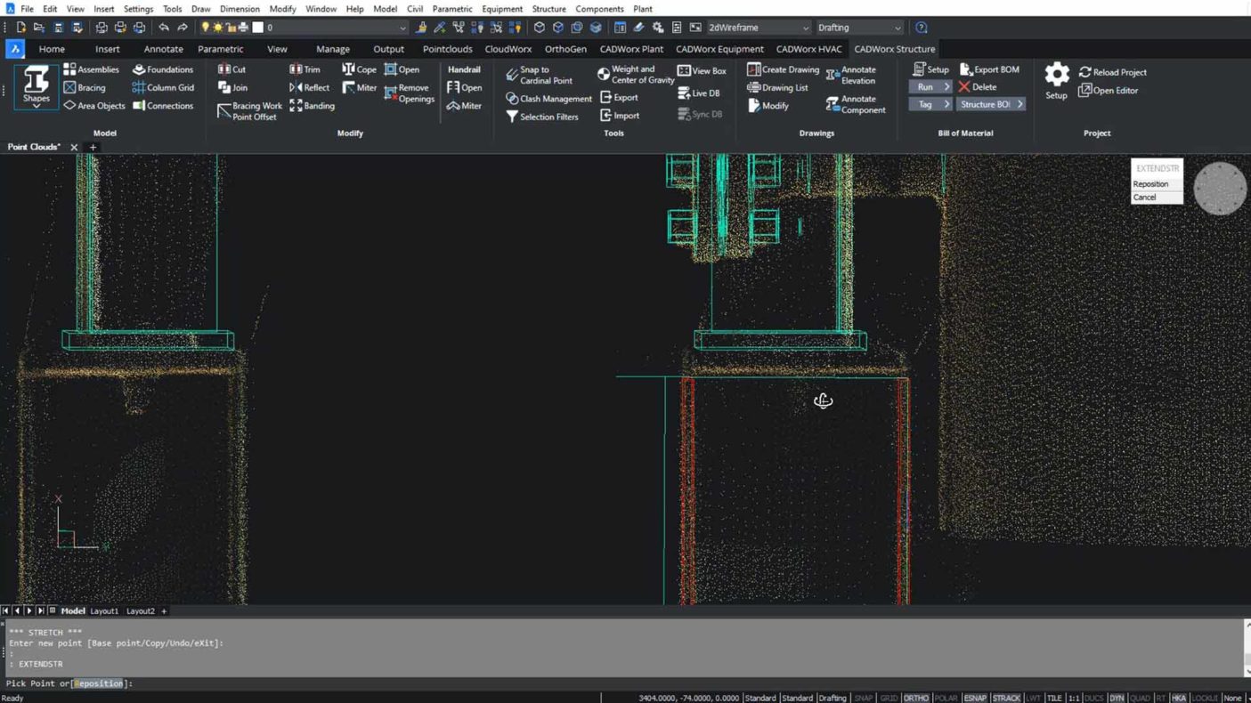
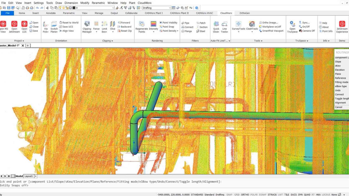
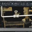
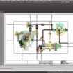
Direct integration with AutoCAD® or BricsCAD® allows seamless handling of large datasets. Data layers and color coding improve navigation and usability.
User-friendly interface
Intuitive tools and commands simplify interaction with point clouds. Customizable settings streamline workflows and reduce setup time.
Enhanced visualization
and manipulation
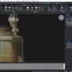
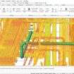
High-quality rendering with dynamic clipping and color mapping provides greater clarity. Interactive tools improve model navigation and editing.
Advanced measurement
and analysis
Precise tools for measurement and cross-section analysis enable accurate design and evaluation from point cloud data.
Integration with CAD
design
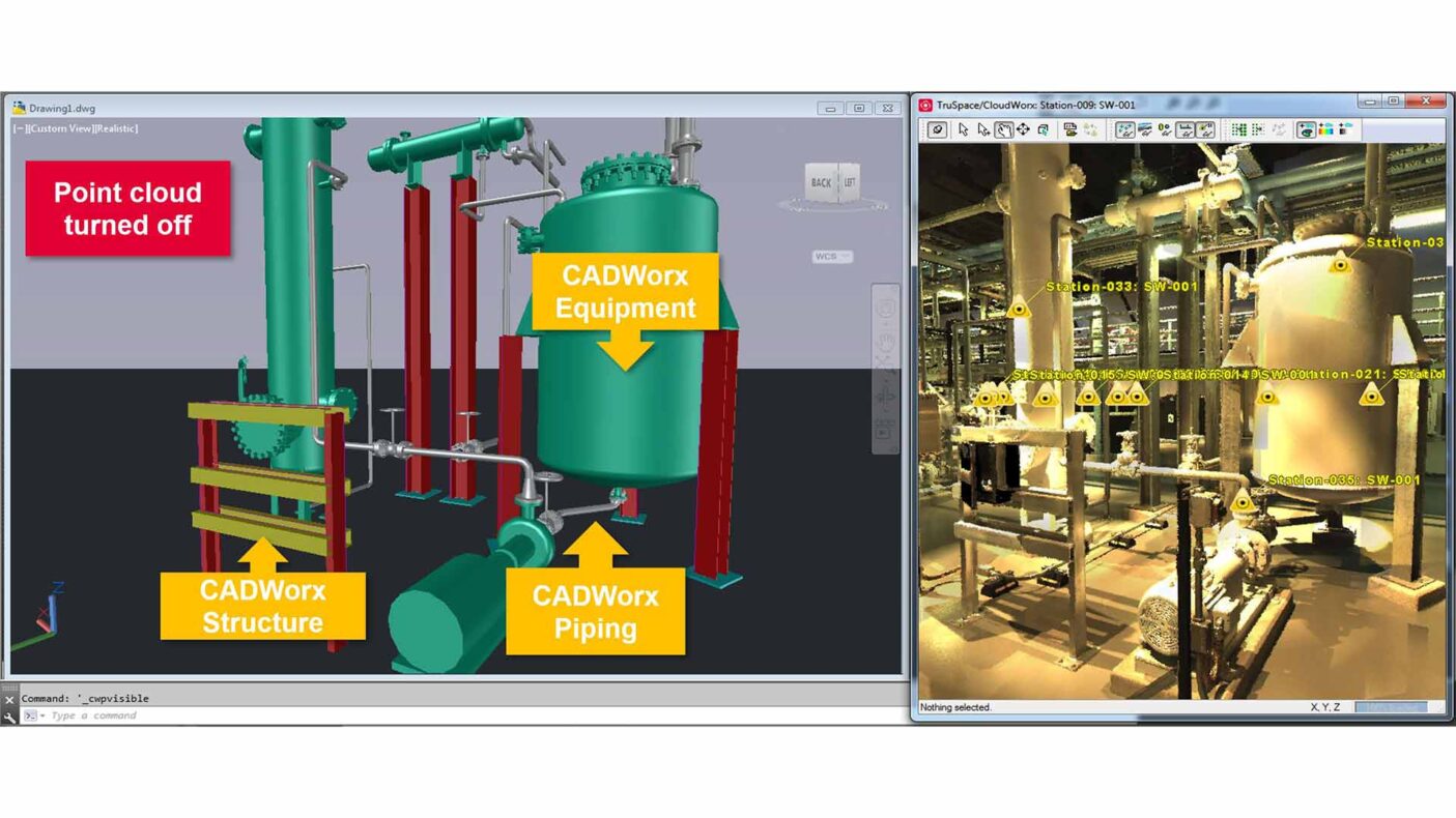
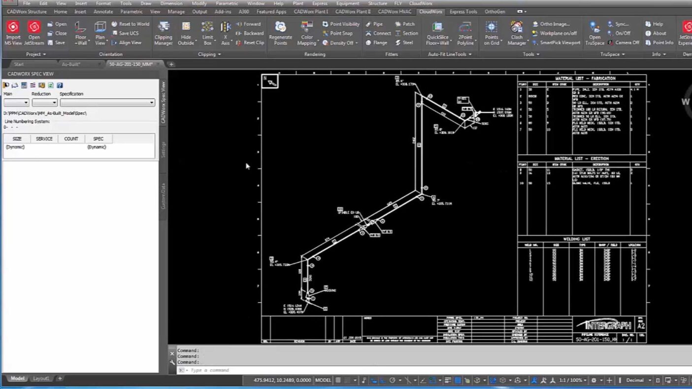
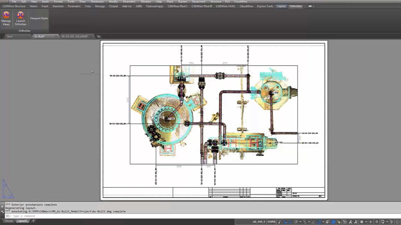
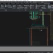
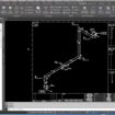
Users can model directly from point clouds and align CAD elements precisely, accelerating 2D drawing creation and reducing rework.
Efficient workflow automation
Automated feature extraction and batch processing tools accelerate modeling and help manage large-scale projects effectively.
Improved collaboration
Data sharing and integration with Leica and third-party software enhance team collaboration and provide access to up-to-date project data.
Accuracy and quality
control
Reliable interference checks and high-precision tools ensure data integrity. Built-in verification tools improve overall quality assurance.
Cost-effective solution
CloudWorx delivers advanced point cloud capabilities at a competitive price, making it an accessible solution for diverse industries.
Features

CloudWorx for AutoCAD®
Displays point clouds in AutoCAD®, overlaid with 3D models of piping, equipment, and structures from CADWorx® Plant Professional.

CloudWorx for BricsCAD®
Displays point clouds in BricsCAD®, integrated with 3D models created using CADWorx® Plant Professional.

As-built model creation from point clouds
DWG-based as-built models created with CADWorx® and CloudWorx serve as a precise reference for integrating new elements in brownfield projects.

Create as-built piping from point clouds
Quickly generate spec-driven as-built piping models in CADWorx® Plant Professional using CloudWorx-managed point cloud data.

Create as-built equipment from point clouds
Efficiently create as-built equipment models in CADWorx® Plant Professional from CloudWorx-managed point clouds.

Create as-built structures from point clouds
Easily build standard-driven structural models in CADWorx® Structure Professional based on point cloud data.

Automatic piping isometrics via Isogen®
Generate as-built piping isometrics for fabrication of spools or full pipe runs using integrated Isogen® tools.

Automatic annotation of orthographic deliverables via OrthoGen®
Produce as-built 2D orthographic drawings to support accurate and safe retrofit work in existing plants.

Design in context to avoid clashes
Design around existing assets using point cloud context, reducing the risk of collisions and construction issues in brownfield facilities.


Capabilities
- Available for AutoCAD® and BricsCAD®
- Work with point clouds from any laser scanner or 3D sensor
- Supports Cyclone (IMP), JetStream, or ReCap formats
- Generate 3D models and linework from real-world data
- Collaborate using TruView with GeoTags, snapshots, and markups
- Eliminate export/import steps for point cloud formats
- Manipulate large point cloud datasets quickly
- Use QuickSlice for slicing and orienting the point cloud
- Auto-fit 2D polylines to point cloud data
- Accurate tie-ins and clash detection
- Floor flatness and levelness tools with ASTM 1155 reporting
- Create OrthoImages in GeoTIFF, PNG, JPEG, GIF, or BMP formats