Autonomous systems and artificial intelligence for air, land and underwater environments
3Units develops and integrates robotic solutions for data acquisition, monitoring, inspection and the automation of industrial processes. Aerial drones, ground rovers, quadruped robots, humanoid platforms and underwater systems are configured to meet specific operational requirements, integrating sensors, software and artificial intelligence.
From initial assessment to Proof of Concept, we support companies and institutions in developing safe, scalable solutions that integrate with their existing processes.

Integrated solutions
Robotics for air, land and underwater environments
We develop customised configurations based on leading robotic platforms, extending their capabilities through the integration of dedicated hardware, software and sensors. Our solutions can include:
- drones and UAV systems for surveying, inspection and automated data acquisition;
- quadruped robots for monitoring plants, construction sites and complex environments;
- humanoid platforms for logistics, operational tasks and activities in high-risk environments;
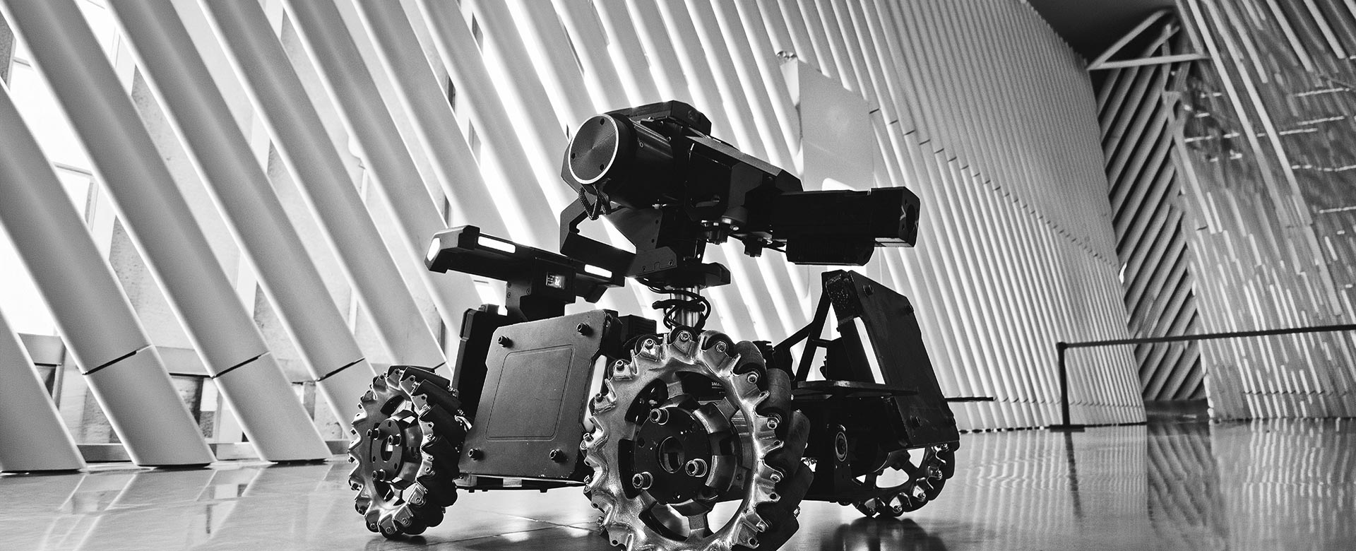
- ground rovers for patrolling, mapping and transport;
- ROV systems for underwater exploration and inspection.
Each system is developed according to the operational environment, project objectives and the need to connect with existing infrastructure, management systems and control rooms.
DEVELOPMENT AND VALIDATION
Custom payloads and Proof of Concept
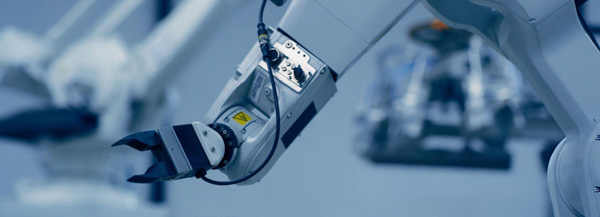
The value of a robotic platform lies in its ability to adapt to specific tasks and environments. We therefore design and integrate payloads, sensors, robotic arms, cameras, LIDAR systems, sonar and communication devices.
We create Proofs of Concept to test the effectiveness of each solution in the field and develop dedicated hardware and software systems, artificial intelligence applications and autonomous docking stations for continuous operations.
ROBOTIC ENGINEERING
3D design, modelling and reverse engineering
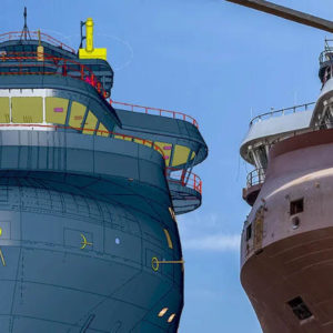
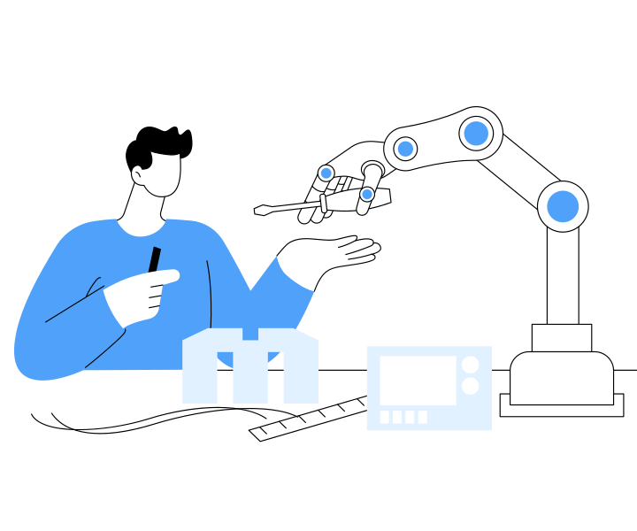
Robotics supports 3Units’ engineering activities, from initial consultation through to the implementation of the final solution. Our services include the customised design of components and integrated systems, 2D and 3D modelling, virtual prototyping and the production of technical documentation.
Using 3D scanners and advanced acquisition systems, we also provide reverse engineering services to reconstruct, digitise, redesign or optimise existing components.
DIGITALISATION
BIM, 3D surveying and photogrammetry
Professional drones, terrestrial scanners and ground-penetrating radar enable the acquisition of accurate topographic and volumetric data for the design, management and monitoring of buildings, infrastructure and construction sites.
We produce orthophotos, georeferenced point clouds, digital models of terrain and structures, sections, elevation profiles and GIS maps. The acquired data can be integrated into CAD and BIM processes to improve information quality throughout the project lifecycle.
MONITORING AND SAFETY
Aerial inspections and thermography
We use drones equipped with high-resolution cameras, thermal sensors and 3D scanners to inspect industrial plants, buildings, bridges, viaducts, power lines and infrastructure quickly and non-invasively.
These activities make it possible to identify thermal anomalies, deterioration, water infiltration, corrosion and structural issues while limiting personnel access to hazardous areas and reducing the need to interrupt operations. The results are provided through images, videos, maps, 3D models and technical reports for maintenance, prevention and risk management.
Special applications
Tailored solutions for complex requirements
We develop robotic applications for non-standard projects and activities in challenging or high-risk environments.
Solutions can include continuous monitoring of sites and infrastructure, video surveillance, search and rescue operations, environmental monitoring, cable installation, material transport and support for research and innovation programmes.
Each project combines consulting, design, technology integration and training, in compliance with applicable regulations and data security requirements.
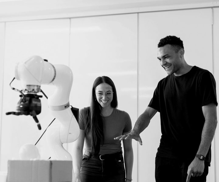

Robotic technologies
integrated into
industrial processes
From data acquisition to the automation of operational activities, 3Units develops robotic solutions tailored to specific project requirements and integrated with the tools already used by the client.
Scopri i nostri case study
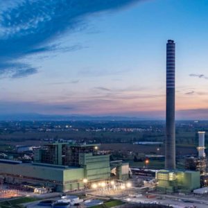
Tavazzano e Montanaso
3Units contributed to the Tavazzano and Montanaso power plant upgrade with advanced 3D modelling, automated workflows and high-precision engineering of 2,500 mechanical supports.
Leggi le ultime news